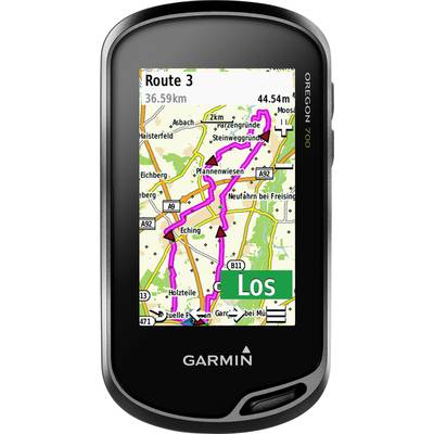
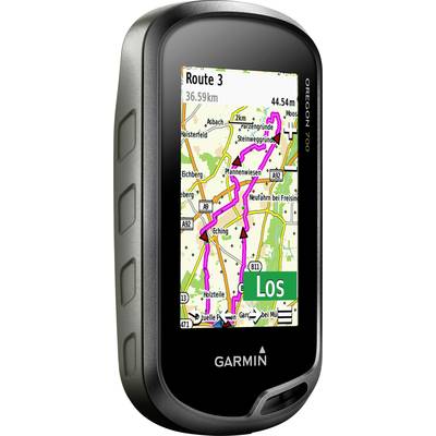
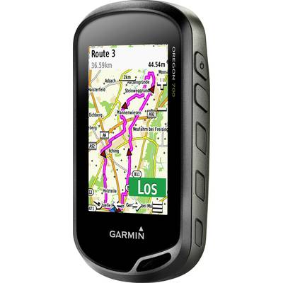
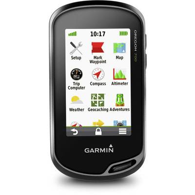
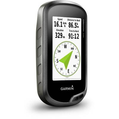
The smart outdoor guide with integrated WLAN, geo-caching live and round-trip routing.
Thanks to an optimized, revised antenna, which provides for a better satellite reception, your discoverers mood with the Oregon 700 GPS and GLONASS-hand-held devices do not get in the way. Whether you are hiking, cycling, geo-caching, mountain climbing, kayaking, mountain biking or for other activities - this robust navigation device is ready for anything. It offers wireless multi-link connectivity (WLAN, Bluetooth and ANT+), has an animated weather radar on the map page and includes an annual subscription for birdseye imagery and a built-in 3-axis compass and a barometric altimeter.
Fun for the search with geocaching.com
Due to the wireless connection with geocaching.com on the Oregon is your geo-caching experience now even better. Set up the device in such a way that it is always up to date with the latest caches. The manual input of coordinates and print the cache details is over.
More Connectivity, less complexity
Software updates, the display of the wetterradars¹ and upload activities in our Garmin Connect online community, thanks to the advanced wireless functions of the Oregon 700 as easy as never before. Parts even live track position data or geocache finds via the Smartphone with others. Via Smart Notifications via Bluetooth and a compatible smartphone you will receive emails, SMS-messages and alarms directly on the device. Always so you know what is going on, while you distance of all win.
Reliable Navigation
The Oregon 700 offers comprehensive navigation and tracking functions, so that you can with GPS and GLONASS, as well as altimeter, barometer and compass on and off-road find your way. The integrated altimeter provides high data to the rise and descent to closely monitor and the barometer display of short-term trends of the air pressure can be caused by the weather changes predictions. The electronic 3-axis compass loses the bearing non-either in movement in the stand. The Trac back ® function of the Oregon 700 is very useful and leads you along the same route back to the starting point. Mark also positions, e.g. Campsites, vehicles or other points of interest to which you would like to be navigated back.
A bright display for a good view
The Oregon 700 is equipped with a bright, 3-inch color touch-screen, which also sunlight-readable and there is a variable alignment for the use in landscape or portrait orientation. It supports multiple cards, e. g. BlueChart g2 HD for navigation on the water or use City Navigator ® for road navigation. The Oregon Series is robust and waterproof according to IPX7 (for more information for customers from DE, AT and CH), so that you always important cards in all weather conditions and tracking data are available. The display of the Oregon can also be connected to free downloads of data fields from the Garmin Connect IQ™ Online Shop can customize - by the end of the year also with apps and widgets.
Next Tour plans
Plan your next adventure with base camp™, a software to view and organize your cards, waypoints, routes, and tracks. With this free software for planning of routes you can even create and Garmin adventures with friends, family or a like-minded explorers online parts. Base Camp shows on the computer topographic map data stored on the device, including contour lines and high profiles. You can also with the included subscription for an almost unlimited number of BIRDSEYE imagery satellite images transferred to the device.
This text is machine translated.